Langenberg–Türlen
Through the Sihlwald over the Albis Ridge
Season
All season
Easy hike up to the Albis Ridge and then down to the Türler Lake
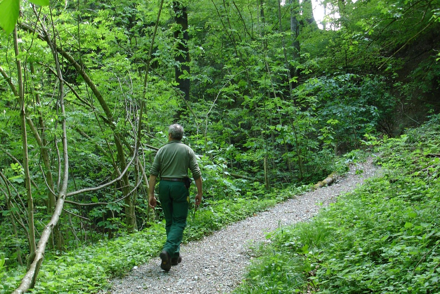
From Wildnispark Zurich Langenberg, head towards the ‘Schwerzi-Wildpark’ stop, then turn right and follow the yellow signs through the upper part of the village of Langnau. After about 40 minutes, you will reach the forest. The yellow signs point the way to ‘Schnabellücken’. This path is narrow and steep. It leads through the beautiful wilderness of the Sihlwald forest. To the left and right of the path, you can discover woodpecker holes and many other animal tracks. Once you arrive at Albisgrat, at the ‘Schnabellücken’ sign, the path continues westwards downhill to Tüfenbach and Vollenweid until it reaches Türlersee. In summer, you can end your hike here with a refreshing swim or enjoy a cool drink at the Türlen restaurant.
More informations
The offer is suitable for
- Adults
- Children < 6 years
- Children from 7-12 years
- Children >12 years
- 50+
Contact
Stiftung Wildnispark ZürichAlte Sihltalstrasse 38
8135 Sihlwald
Tel. +41 (0)44 722 55 22
www.wildnispark.ch
Suitable as a day trip for schools. Combine the start or end of the hike in Langenberg with watching animals in the Wildlife park and swimming in Lake Türlersee. The hike in the opposite direction (from Türlen to Langenberg) is easier as the ascent is less steep.
- child-friendly
Season
All season
Route-information
- Length
- 7.30 km
- Altitude difference ascent
- 315 m
- Altitude difference descent
- 220 m
- Time required
- 2 hours 15 minutes
- Level technique
- Easy
- Level condition
- Easy
Arrival
- Starting point
- Langenberg Zentrum (Altitude: 557 m)
- Arrival by public transport
- Langnau a.A.,Schwerzi-Wildpark Timetable SBB
- Destination
- Türlen/Türlersee (Altitude: 643 m)
Infrastructure
Wild animals in the Wildlife Park Langenberg, gorgeous forest scenery, Türler Lake
Possibilities for catering
Langenberg RestaurantAlbishorn Restaurant (approx. 35 minutes from Schnabellücken)
Türlersee Restaurant
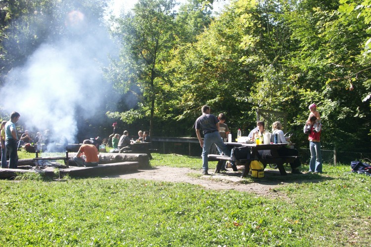
Various fire pits