Albispass–Hochwacht–Albispass
Short walk with scenic view
Season
All season
Short walk to the Hochwacht watch tower with incredible views over the whole Wildnispark Zurich.
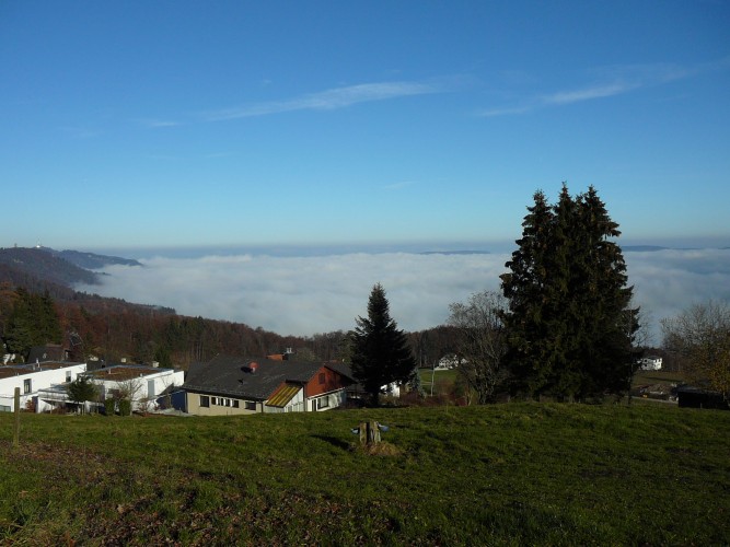
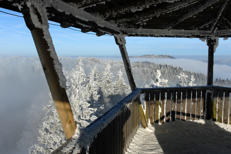
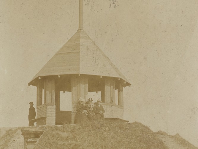
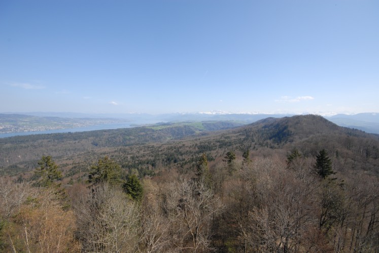
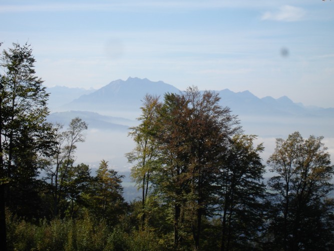
From the Albis Pass, walk past the old fire station and follow the yellow hiking trail arrow towards the observation tower. Soon you will have a wonderful view over the whole of Lake Zurich. Now continue on to Wildnispark Zurich. You will soon reach the Albisbodenhütte and after a short time the observation tower will be in front of you. At the end of the 153 steps, a magnificent panoramic view awaits you. The Sihlwald forest lies between Zug and Sihlbrugg. You can see the Üetliberg, the city of Zurich, the lake and even the Glarus Alps. The mountain range seems endless: Säntis, Glärnisch, Fronalpstock, Rigi, Pilatus and on to Stanserhorn. After the descent, the barbecue area is ideal for lunch. The return journey follows the same route, with the incomparable images of this panoramic tour in your luggage.
More informations
The offer is suitable for
- Adults
- Children < 6 years
- Children from 7-12 years
- Children >12 years
- 50+
Contact
Stiftung Wildnispark ZürichAlte Sihltalstrasse 38
8135 Sihlwald
Tel. +41 (0)44 722 55 22
www.wildnispark.ch
- child-friendly
Season
All season
Route-information
- Length
- 3.10 km
- Altitude difference ascent
- 100 m
- Altitude difference descent
- 100 m
- Time required
- 50 minutes
- Level technique
- Easy
- Level condition
- Easy
Arrival
- Starting point
- Albispasshöhe (Altitude: 790 m)
- Arrival by public transport
- Langnau a.A., Albispasshöhe Timetable SBB
- Destination
- Albispasshöhe (Altitude: 790 m)